


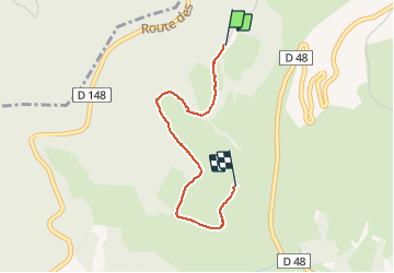


11.1 km | 16.6 km-effort


User ADMINGUIDE


FREE GPS app for hiking
 SityTrail
IGN / Geographical institutes
SityTrail World
The world is yours!
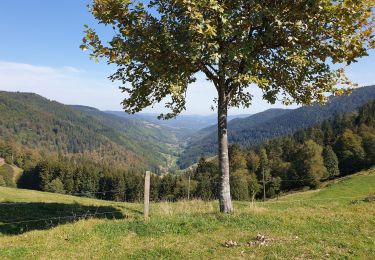
Trail Walking of 2.3 km to be discovered at Grand Est, Haut-Rhin, Le Bonhomme. This trail is proposed by pscheven.


Walking
Walking

Walking

Walking
Walking

On foot
Walking
Walking
Walking
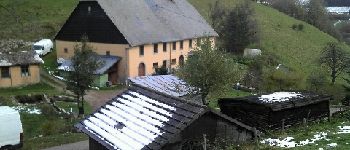
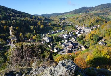
belle balade
Petite balade agréable